

Invasive Plant Surveys
If you have not already, please fill out this volunteer form.
All eyes are needed to spot invasive plants so we can take action as a community.
On your own property
Most common garden weeds are invasive, non-native plants. Residential properties often have more serious invasive plants as well, such as English Ivy and Burning Bush.
In your neighborhoods
Your neighbors need your help to know when they have an invasive plant problem.
In the parks and other public spaces
Any management plan must start with first knowing what is there.
Ready to try it? There are several ways you can help.
No experience with plant ID?
Tree Counts - Sign up for the Plant NOVA Trees Tree Rescuer program to count the numbers of trees that are covered by invasive vines.
Early Detection - Use iNaturalist to help pinpoint new threats while there is still an opportunity to eradicate them. iNaturalist is an identification app that also documents observations and is a great way to get to know the plants that are around you. The National Capital PRISM scans the iNaturalist data and sends out volunteers to public parks to remove the plants.
Wisteria Surveys - Use iMapInvasives (iMap for short) to document Chinese/Japanese Wisteria when it is blooming in April and easy to spot.
Some experience?
Severe Infestation Surveys - Use the iMap mobile app to roughly map out those bad infestations in every park in Fairfax. This is a very easy and very worthwhile activity!
Site-level Surveys - If you have thoroughly explored a park, you can use this simple form to give us an overall picture of how the park is used, how severe the invasives are, and how badly they affect access to the natural areas. Check the map to see which areas have been surveyed already for this purpose. Displaying progress on the vines on the trees will be a super useful way to encourage the public to pitch in.
Major experience?
Management Area Surveys - Use iMap to map out individual natural areas in detail where you are planning management.
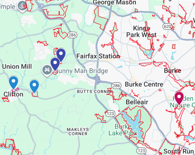
Site-leave survey of vine-on-trees situation (Dark blue - excellent. Red - terrible)
About iMap
This program is used nation-wide by governments and non-governmental organizations for monitoring and managing invasive plant and animal species. It allows users to document observations of invasive species as points, lines, or polygons (the two dimensional area covered by the observation) and add photos and estimates of the severity of an infestation. It also allows users to create treatment records and monitor areas over time.
You may feel free to use iMap any way you like for your own purposes, but for the Wisteria Surveys and the Severe Infestation Surveys, please follow the protocols which we have outlined.
You can see what has been surveyed so far by creating a free account and logging in to https://imapinvasives.natureserve.org/.

Is all this worth your time?
We hope so. Fairfax Tree Rescuers PRISM is a serious effort to address the invasive plant problem in Fairfax before it is too late. It will take real work on the part of many dedicated people. It’s also a long-term effort, so if you don’t have time right now, you can plunge in later at any time.
Ready to try the iMapInvasives app for the severe infestations surveys? Click here for instructions for the simpler app that allows you to add a single photo and create a points on the map.
Ready to take a short questionnaire to describe the park as a whole and give an overal picture of the invasives situation? Click here.
Want to do more detailed surveys? Start with the iMap Web-based version and practice at home.
iMap Mobile version - two kinds of apps. The second one allows you to draw polygons and add multiple photos.